Difference between revisions of "Maps"
| Line 2: | Line 2: | ||
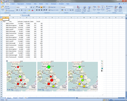
XLCubed Maps are an optional extension which allow plotting geographic data directly in Excel and publishing to the XLCubed Web server. | XLCubed Maps are an optional extension which allow plotting geographic data directly in Excel and publishing to the XLCubed Web server. | ||
| + | |||
| + | [[File:MapSample.png|center|thumb|500px]] | ||
==Video demonstration== | ==Video demonstration== | ||
Revision as of 13:08, 18 April 2011
Introduction
XLCubed Maps are an optional extension which allow plotting geographic data directly in Excel and publishing to the XLCubed Web server.
Video demonstration
For a tutorial, try watching our Map Videos
